I rode up to the Department of Licensing today. It's on Lidgerwood, a block north of Francis. Usually when I go to the central-north part of town, I'd take Monroe on the west or Crestline on the east.
Today, I decided to see what happens when you hook up with the bike lanes on Buckeye and how well that hooks you up with Addison. Addison is a popular route and one I've not ridden before.
View Larger MapGenerally, I was impressed with how well the signs are done. This is a real route, in the sense that you are provided on-street directions with a number of turns. Signs will guide you from Buckeye, across Ruby/Division to North Foothills, left on Mayfair, up to Lidgerwood, across Liberty and finally onto Addison. That's pretty good signage.
The hard part of this route though is crossing Division/Ruby and then this beauty:
What a mess. So, you (the cyclist) are to ignore the "Dead End" and "Road Closed" signs and just see follow the Bike Route sign. That's a bit confusing. But whatever. You continue north about 1/2 a block and you hit this:

The signs are a bit hard to see here, but there's a "Do Not Enter"in the foreground and a "Wrong Way" about 50 yards up. I also chopped off another "Road Closed" sign with a bit of a barrier on the right side of this road.
The deal here is that this is a one-way road. We are routing bikes against traffic on a one-way road. That's bad. The fix is pretty simple though:
- For each "One Way," "Do Not Enter," "Dead End," and "Wrong Way" sign, attach an "Except Bikes" sign to the bottom.
- Stripe a bike lane up the right hand side of this hill (which has a blind corner at the top as a nice added touch -- so, make that, "we're routing bikes against traffic on a one-way road with a blind corner at the top"). Maybe there is a striped lane for north-bound bike traffic. There's snow, so I don't know.
I'm not really sure that's the best way to fix this -- my gut tells me that creating on-the-ground, bike-specific expectations to normal traffic law is not good planning/policy/idea. Why is this a one-way road in the first place?
On the way back from the DOL, I took the same route and saw this sign:

This is heading west on North Foothills. This sign is on the block b/t Ruby and Division. After Division, this street turns to Buckeye. Not a particularly pleasant part of this route and one that would need some work to get most non-daily cyclists to ride this section.
Anyway there are two things about this sign that I wonder about:
1) What is with the Bike and 2/395 signs randomly placed around town? I understand that Division is also part of Hiways 2 and 395, but what's with the bike?
2) As a cyclist, I feel like this sign is telling me that taking a left there on Division is recommended or part of some Hiway route. Bikes are illegal on Division. It's the one place (besides I-90) in the Spokane area where it is illegal to ride a bike. Why is this sign pointing here?

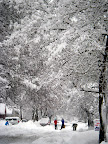
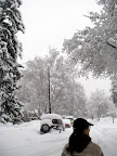
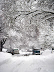
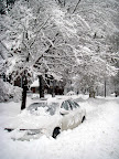
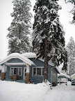
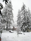
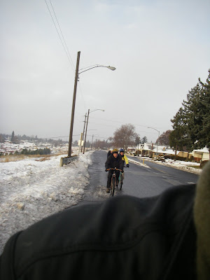
 What a difference 10 degrees makes. It's been about 36 degrees all day, so the piles and piles of sandy, fluffy, impossible-to-cut-through deep snow has been transformed into hard packed, easy-to-glide-and-slip-on roadway.


 Once again, the shape of that cart holder is eerily similar to the simplest and most effective rack design in all of human history:
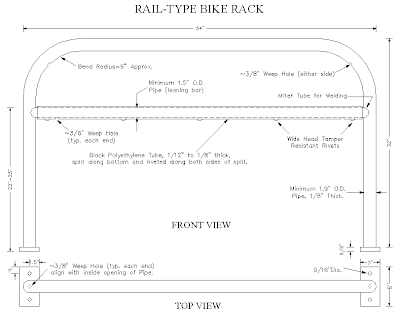


