"Mini Epic," I guess that's an oxymoron. That's fitting after today's ride. I feel a bit like a moron.
I was finally able to do the
Mica Peak climb I was hoping to do a couple Fridays ago. I had the rare occurrence of having a crummy ride. There were lots of contributing factors.
The biggest reason was that I ran out of water way too early and pushed it too far without water. I was about 3/4 up the hill when I ran out of water. But I was so close. I knew there wouldn't be water at the top -- yet I kept going. Dumb.
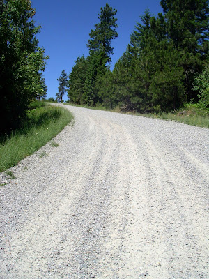
My knee has been bugging me a bit lately. Normally I stand on long climbs like this and just take it slow, but there was an inch or so of loose gravel and the grade was crazy steep. So I couldn't engage the rear wheel unless I sat down. My RB-T is not geared for spinning up climbs. For rock stars it would be fine: 30/28; but for me that's grinding. So my knee paid for that -- not having gobs of water didn't help the knee either I assume. So that was stupid too.
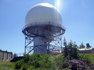
After I got to the top I took a quick walk around the buildings to see if I'd get lucky and find a water tap. No luck.
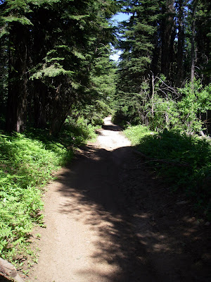
As I bombed down the other side, which was really an old road: bigger than a trail, but narrower than a road, my camera popped out of my handlebar bag. It popped out because I didn't close the pocket it was in. Of course I didn't see it. This required an hour of back tracking UP the hill again... only to find it about 100 feet from where I had started to back track. By this time I was beginning to feel a bit lightheaded for lack of water. Lame.
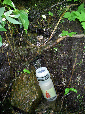
I finally ran across some water trickling down the side of a hill. I drank two bottles worth w/out treating it. (Sounds lame, but I trust water that comes out of the side of a hill, especially if there's no grazing up above. But we'll see, maybe my next blog post will be about how I stayed up puking all night.)
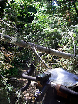
I got off course and a bit lost for while. I only packed a GPS. I didn't even bring my Spokane County map. If I had a good map, I would enjoyed the ride down the hill after finding water. Instead, I had to rely on my GPS, which is OK, but not enough. You need the context provided by a map. I got lost for about an hour as the trail got narrower, rockier, and steeper. There were also a lot of fallen trees across the path. Sucky.
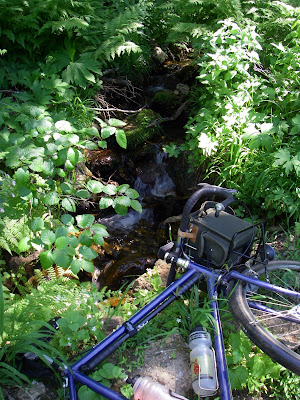
By the time I popped out on a logging road that appeared to have been traveled in the last 10 years, it was 3pm. I had company coming at 5. The road finally led me out of the woods and to Highway 27. I hammered on the Palouse. By the time I got to the climb to Baltimore, I was pretty shot. At that point, some racer dude passed me and said, "Good job!" That is a damn condescending thing to say to someone when you pass them.
I was home by 4:30.
Here's the GPS output:

Lies. Mica Peak is not 5000 feet. I think it's about 4600. But all the same. The climb is pretty severe and packed into about 8 miles.
There's lots to explore in that area; I'll go back next summer and find a better route. I'll also bring more water and a map.
Even though it was not a fun ride; it was still worthwhile. Lots of obvious lessons there that I'm embarrassed to think that I still need to learn.


 The picture above shows the base of the climb. With two people this is easier, but I figured out a way to climb this by put the bike in front of me as shown here. Then, you pick the bike up, set it up the hill an arm's length away. Hold the brake. Climb up closer. Repeat. It works well as long as you can sort of stand on the hill/ledge. When the drop becomes too steep, as it does here at the end, it's a "hope you have good footing and throw-a-bike" kind of deal.
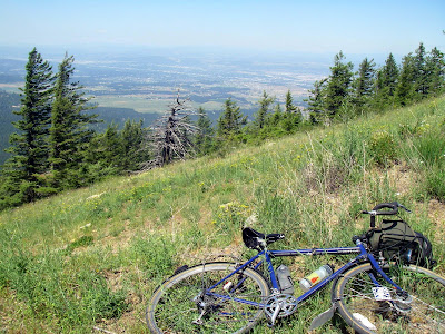
 Here's how the bike "landed." Nice Spokane view there in the back ground.


